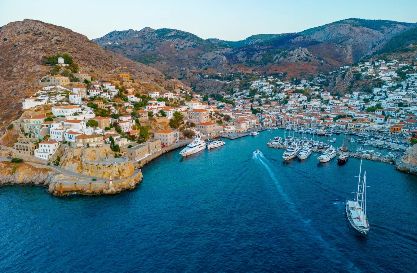
See a list of all the Tzoumerka’s villages below!
Vourgareli

Vourgareli is situated in the Southern Tzoumerka (or Athamanika Mountains) at an altitude of 800m and is built on the fringes of the Tzoumerka between two fir-covered hill chains that protect it in their natural embrace.
It is the head-village and seat of the Municipality of Central Tzoumerka. It is close to cities such as Arta, Ioannina and Trikala. The two big rivers of the region, the Achelous and Arachthos, are close as well as the Mesochora dam and the Pournari artificial lake.
Pramanta

Pramanta is situated at an altitude of 840 m., at the foot of the imposing peak of Stroggoula, behind which lies the mountain range of Tzoumerka.
It’s at the centre of the broader area of Tzoumerka, with a population of approximately 800 residents, which however exceeds 1500 at summertime. It’s the seat of the municipality of North Tzoumerka and now a mountainous holiday resort. The marvelous cave of “Anemotrypa”, the monastery of Saint Paraskevi, the forest of Markopoulos and the fountain of Skala are also places one has to see.
Agnanta

Agnanta is one of the biggest villages of Tzoumerka. It is situated near the village of Katarraktis, at a distance of approximately 50 km both from the city of Arta and that of Ioannina. It is built at an altitude of 700 meters and is well known for its numerous natural springs and its dense vegetation. There, one can visit the well-preserved traditional water-mill still in use, as well as the folklore museum, where the visitor gets acquainted with the traditional local lifestyle of the past.
Athamanio

Athamanio, a village totally immersed into firs, is built on the fringes of Southern Tzoumerka, with its houses amphitheatrically placed, from an altitude of 700m in the centre of the village up to the 2,393m of the mountain peak. It constitutes the biggest and most populated village in the Municipality of Central Tzoumerka; 64km away from Arta, the capital of the prefecture.
Verdant, brimming with firs, planes and running crystal-clear water, Athamanio displays plenty of arch stone bridges – with the “Tsagkaraki” bridge being the most famous one – and stone-built fountains offering water to any thirsty passer-by. Thanks to its ideal climate, two camping sites in the village host lots of children and students during summer.
Theodoriana is a village of exceptional natural beauty, 80km away from the city of Arta. The village is situated at an altitude of 950m in the embrace of the Tzoumerka mountain range between two rivers, Goura and White Goura.
It constitutes a perfect starting point for climbing and hiking to the highest peak – the so-called Pyramida [Katafidi] – 2,393m above sea level. Must-see attractions in Theodoriana are its chapels and watermills, the gorge of Agia Triada, the settlement of Skarpari at the banks of the Achelous river and the fir forests of Siamanta and Kapareli. The hundred-year-old planed tree as well as the Church of Agios Georgios, with its bell tower built in 1980, adorn the square of the village.
Kalarrites
The village of Kalarrites is situated at an altitude of 1200 m. According to archeological findings the area has been inhabited since the Bronze Age! The settlement flourished especially in the 18th century as many of its residents maintained trading houses in major European cities. Impressive mansions of that period, made of stone like the rest of the buildings and paved streets, are still well preserved today. Once there, one can also visit the Silversmithing Museum of the village.
Kalentzi
Kalentzi is a village located at the south part of the prefecture of Ioannina in an altitude of 620 meters, it is 31 km away from the city of Ioannina and also 30km from the center of the wider area of Tzoumerka. It is a mountainous village surrounded by green trees and beautiful flowers. It is a quiet village at the foot of a hill overlooking the valley.
Katarraktis
Katarraktis is a picturesque village, situated at an altitude of 800 m. Its previous name was “Shoretsana”, but in 1927 it was renamed after the twin waterfalls at a small distance from the village. The waterfalls are a “must-see” attraction of the area, as well as the monastery of Saint Catherina. Katarraktis is a village of Epirus, in the prefecture of Arta. It belongs to the municipality of Central Tzoumerka. It is situated at an altitude of 800 meters on Athamanika Mountains, better known as Tzoumerka, at 62,5 km. (via the bridge of Plaka) or 55 km (via the village of Ramia) north of the city of Arta.
Katarraktis consists of the main village and four more settlements (Kriopigi, Milea, Sgara and Vlagada). The main attraction is the twin waterfalls at a distance of 7 km from the village, a real marvel of the nature.
Kostitsi
Kostitsi is a small village perched at 870 m. altitude in the Northern Tzoumerka Mountains situated in the south-eastern part of the prefecture of Ioannina. There is a traditional “kafeneio” which serves local delicacies, a basket ball court, a playground and the largest 5 star hotel in the area. The village has retained its traditional character with its cobbled streets, threshing grounds and charming stone houses build by the renowned Tzoumerkan stone masons. It is surrounded by footpaths of all categories of difficulty whether it be for walking, trekking or mountain climbing.
It is an ideal rural escape as visitors while enjoying the infinite peace and quiet of the village, are only a 25 minutes car drive from the lively city of Ioannina and is easily accessible as it is a mere 15 minutes away from both the Egnatia and Ionia motorways. Additionally, the rafting starting point of the Arachthos river takes only 10 minutes to get too as does the Elliniko village with its Byzantine Tsouka Monastery founded in 1190 and the “Theodoros Papagiannis” Museum of Contemporary Art.
Melissourgi
The village of Melisourgi is situated at an altitude of 850 m, at 72 km. from Arta and 65 km from Ioannina. The village owes its name to its hard-working people, who like the bee (“melissa” in greek) – an exemplary of hard-working creature in the animal kingdom – had to come-up with ways of survival through the hardships of everyday life.
The wild nature with its abundance of water and fir forests, attach a unique beauty to the village. The visitor has the chance to discover one of the most beautiful places of the region with its dense vegetation, its numerous springs and beautiful landscapes. One such sight is the waterfall of “Kefalovryso”, the highest of Greece, at a short distance from the village.
Prosilio
The village’s first name, of Slavic origin, was “Dovisdiena”, but from 1927 to 1928 it was changed to “Chalasmata”. In 1928 the village was renamed to “Prosilio”. Its residents did not belong to the race of Vlach and even though their trading relations was mostly with that race very few among them could actually speak the Vlach language. The villagers were mostly farmers and stock-raisers, but there were also many builders.
Syrrako

Syrrako was built sometime around the 15th century A.D. and preserves the traditional architecture or Epirus. Stone multi-storey houses, slate roofs, stone-paved streets, carved fountains with running water and the absence of motor vehicles, all contribute in maintaining the traditional color intact. Syrrako has a significant history and is the birthplace of many eminent personalities. One can visit the folklore museums of “K. Kristalis” and “K. Avdikos”.
Source: epirusadvisor